
What is GIS?
If you run a small water or wastewater utility, you’ve probably heard the term GIS thrown around at conferences, in grant applications, or by your engineer. This page explains what it actually means, why it matters for your system, and what it looks like in practice — no jargon, no sales pitch.

Subscribe to get Notifications
Get notified about new features, product updates, and tips for getting more out of Ziptility.

.png)


What Does GIS Stand For?
GIS stands for Geographic Information System. In plain terms, it’s a way to put information on a map. For a water utility, that means every valve, hydrant, main, meter, pump station, and tank shows up on a digital map with details attached — install date, material, size, condition, maintenance history. Instead of keeping that information in filing cabinets, binders, spreadsheets, or someone’s head, it lives on the map where anyone on your crew can find it. It’s the difference between “I think that valve is somewhere near the old church” and knowing exactly where it is, what size it is, and when it was last exercised.
Read more: From Paper Maps to Phone Maps →Why Does GIS Matter for Small Water Utilities?
Without GIS, your system’s knowledge lives in people’s heads. The senior operator who knows where every line runs, which valves stick, and where the old mains are buried — that’s your GIS. The problem is, people retire, get sick, change jobs, or just forget. Half the water operators in America are eligible to retire in the next decade. When they leave, decades of knowledge about your system goes with them. GIS is how you keep that from happening. It’s also how you answer the questions that keep coming up: What did we spend on maintenance last year? Where are the oldest mains? How many hydrants are due for testing? Which assets have had repeat failures? Without a GIS, those questions take hours of digging. With one, they take seconds.
Read more: The Smallest Utilities Have the Most to Lose →What’s the Difference Between GIS and Google Maps?
Google Maps shows you roads and buildings. GIS shows you what’s underneath them. That’s the key difference. Google Maps can tell you how to get to a job site, but it can’t tell you there’s a 6-inch cast iron main running under that road from 1974, or that the gate valve at the intersection was last exercised in 2019, or that the hydrant on the corner failed its flow test last spring. A GIS ties location to data. Every point on the map carries information — not just where something is, but what it is, how old it is, what shape it’s in, and what’s been done to it. That’s what makes it useful for running a utility, not just driving to one.
Read more: Why You Need More Than a Mapping App →What Goes Into a Utility GIS?
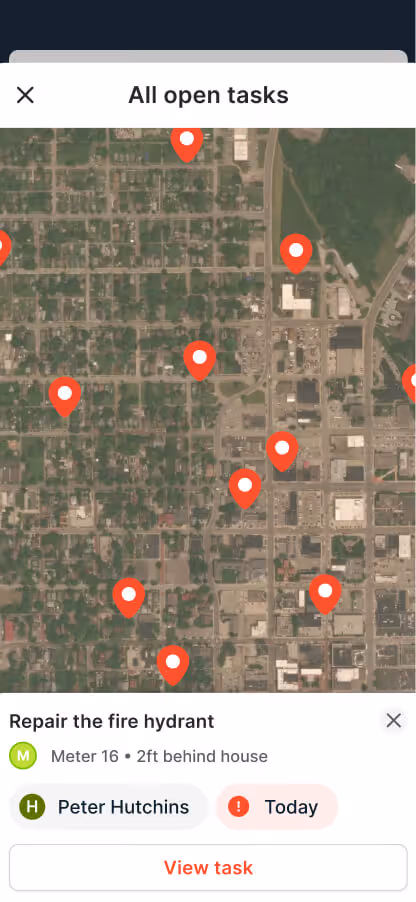
A utility GIS typically holds everything your crew needs to find, fix, and manage infrastructure. That includes valves, hydrants, meters, main lines, service lines, service taps, pump stations, tanks, booster stations, fittings, wells, and manholes. Each asset sits on the map with its own record — install date, material, size, condition, photos, inspection history, and open work orders. Beyond physical assets, a good utility GIS also tracks work: line repairs, customer service requests, 811 locate tickets, compliance items like Lead and Copper Rule flags, and notes from field visits. The more your crew uses it, the more complete the picture gets. You don’t need to have all this data on day one. Most utilities start with what they have — a paper map, a set of as-builts, a spreadsheet — and the record grows from there as the crew does their regular work.
Read more: It’s an Operations Record, Not Just GIS →Do You Need GIS Experience to Use It?
No. Traditional GIS tools like ArcGIS were designed for trained GIS analysts sitting at a desktop in an engineering office. They’re powerful, but they’re also complex, expensive, and built for a workflow that doesn’t match how most small utilities actually operate. Modern GIS tools are different. They run on phones and tablets, they work offline in areas with no cell service, and they’re designed so that someone standing in a ditch with gloves on can tap an asset, log what they did, and move on. If your crew can use a smartphone, they can use a GIS. The days of needing a dedicated GIS person on staff are over — at least for the kind of day-to-day mapping and record-keeping that small utilities need.
Read more: Is There an Esri Alternative for Small Water Utilities? →What About Cell Service and Data Security?
Two concerns come up a lot: What happens when there’s no cell signal? And where does the data actually live? Good GIS software works offline. Your crew downloads the map to their device and heads out. Dead spots in rural areas, inside pump stations, deep in a trench — doesn’t matter. They can still pull up assets, log work, take photos. When the phone reconnects, everything syncs back automatically. No lost data, no sticky notes to remember what you did. As for security, modern GIS systems are cloud-based, which means your data is backed up automatically, encrypted, and accessible from any device. There’s nothing to install on a server, no software updates to schedule, and no risk of losing everything if a laptop gets dropped in a creek.
Read more: What is Mobile Utility Management? →How Ziptility Handles GIS for Small Utilities
Most GIS tools were built for big cities with big budgets and dedicated GIS departments. Ziptility was built for the 3-person crew running a 2,000-connection water system — the ones where the superintendent is also the GIS department, the IT department, and sometimes the person turning valves. Getting set up takes about 45 minutes. You bring whatever you have — paper maps, as-builts, spreadsheets, a hand-drawn sketch — and we build your digital map from it. Your crew starts using it from their phones on day one. Over time, every pin they drop, every work order they close, and every photo they take builds your system into a complete digital record. No year-long setup. No expensive consultant. Just your real system, on a real map, getting smarter every day.
Read more: Who Owns Your Map? →Related Resources
Now that you know what GIS is, here are some deeper dives built for utility operators like you:
GIS Mapping Software for Small Water Utilities →Mobile Work Orders for Water Utilities →Mobile Asset Management Software →All Ziptility Features & Benefits →.png)