Product
Core
Asset management
Know what's in the ground
GIS mapping
See every asset on one map
Work orders
Stop losing jobs in the shuffle
More
811 locates
Handle locates without the fire drill
Inventory
Track parts before you're out of them
Financial tracking
See what every repair really costs
Compliance
Stay ready without the scramble
Who it's for
By system
Water utilities
Mains, valves, hydrants, meters
Wastewater utilities
Lift stations, manholes, lines
Stormwater utilities
Outfalls, inlets, ditches, culverts
By team
Public works
Water and sewer first, then the rest
Contract operators
Every system you run, on one map
Field Guide
Your track
For operators
Study and get certified
For managers
From wrench to budget
For boards
Know what a board owns
Free tools
Practice tests
Real exam questions
Calculator
The everyday math
Utility Report Card
See how your system scores
Log in
Insights on GIS mapping, utility management, and digital infrastructure for small water, sewer, and stormwater utilities.
Half your service area has no bars. Here is what an offline work order app for rural water has to do, and how the work stays tied to the asset.
Got an MS4 permit and no map of your stormwater system? Here is how a small crew maps catch basins and outfalls, logs inspections, and keeps the records the permit wants.
The water side is mapped, but the sewer side is buried and on paper. Here is how a small utility maps its collection system, ties inspections and I&I to the map, and tracks lift stations.
The state wants an asset management plan and documented need before it funds a thing. Here is how your age, condition, and work-history records turn into an SRF application, a grant, an AWIA assessment, and a rate case that holds up.
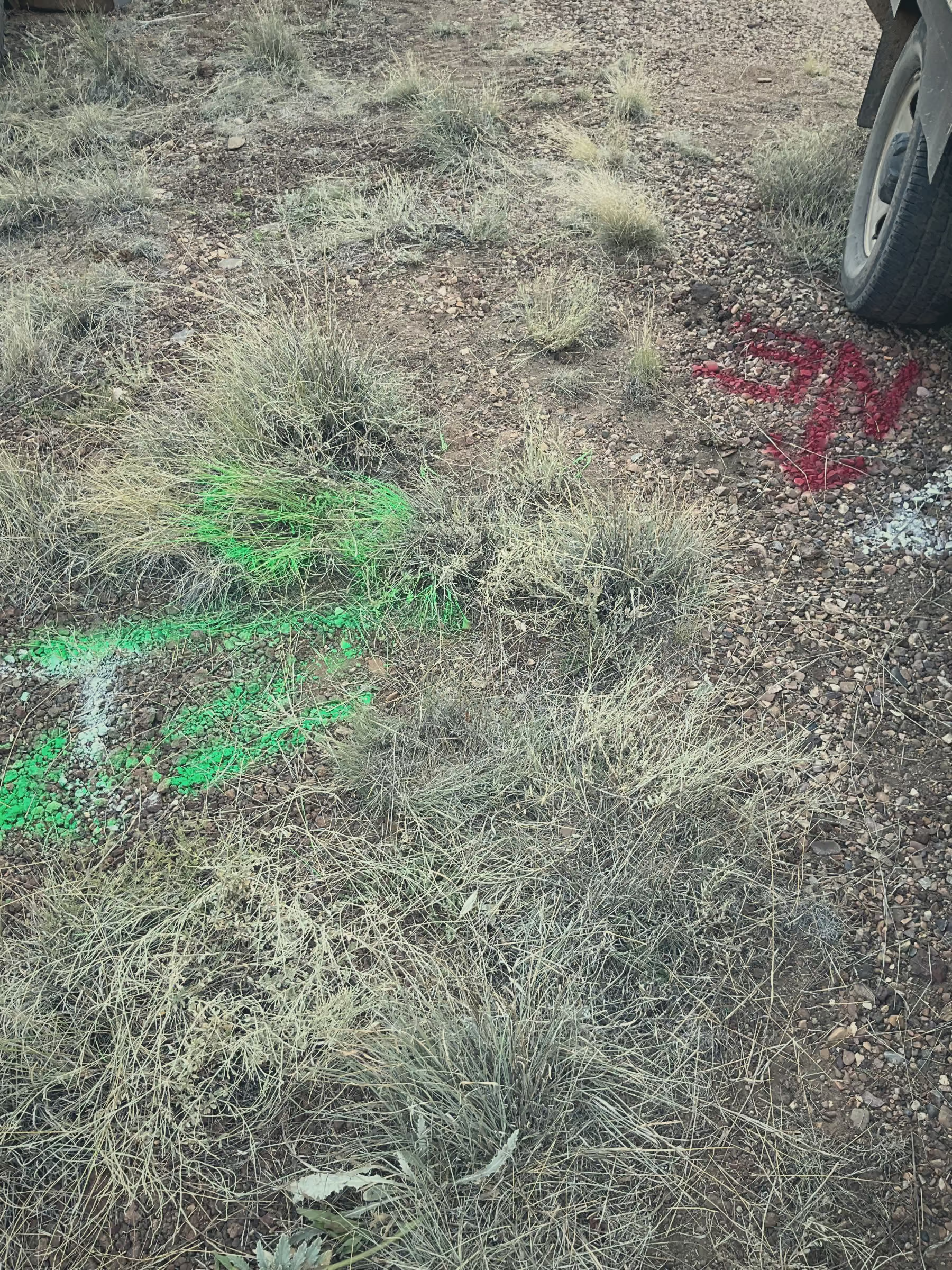
A locate ticket lands and the one person who knows where the line runs is out. Here is how a map of your system makes 811 locates faster, safer, and provable.
Build a lead service line inventory from your tap cards, verify pipe material in the field with a photo, and hand the state a clean list. No GIS department needed.
A step-by-step guide for small water and wastewater utilities to build a single source of truth: set governance rules, integrate GIS alongside existing systems, capture updates at the moment of work, and put recurring map and asset record upkeep on the calendar.
Utility asset databases drift away from reality because the field can't update them, the GIS won't accept changes, and nobody owns the data. Here's how field-first workflows fix all three.
The 10 features that separate water utility work order management software that lives in the truck from the kind that dies in a binder, with a question to ask each vendor.
Binders, spreadsheets, filing cabinets, and your most experienced operator's memory. When your best guy retires, what goes with him? Here's how small utilities are fixing this.
Your capital budget should come from real maintenance costs and condition data, not a dusty binder. Here's a simple framework for small water and wastewater utilities.
Yes, if you track labor, materials, and equipment costs on every work order and tie them to the actual asset. Here's how small utilities are doing it with Ziptility.
An engineering map gets updated when there's an engineering project. An operations map gets updated every time someone does their job. Which one do you want when the main breaks at midnight?
GIS is a design tool. It's for engineering work that happens a few times a year. Running a water system is a daily job, and daily jobs need a daily record. Here's the difference.
At most small utilities, the engineer controls the GIS. The field crew just looks at it. But the people who need accurate maps most are the ones standing at the valve at 3 AM, not the ones designing a project twice a year.
Our smallest customer has 50 connections, a contract operator, and no full-time staff. They built an asset management plan and a capital budget the board actually uses.
You don't need 10,000 connections or a GIS specialist. Here's what it actually looks like when a 3-person utility crew goes from paper maps to phone maps.
92% of U.S. water systems serve fewer than 10,000 people, but small systems account for 86% of SDWA violations. Here's why size makes every risk hit harder.
ArcMap is being retired. ArcGIS Pro costs more than most small utilities can justify. Here's what small water and wastewater systems are doing instead of paying for software built for engineers.
Your map shows where pipes are. But who fixed it last? See why small utilities need utility asset management software that connects maps and work orders in one system.
The silver tsunami is hitting water utilities hard. Here's a step-by-step process to capture what your retiring operators know before they walk out the door.
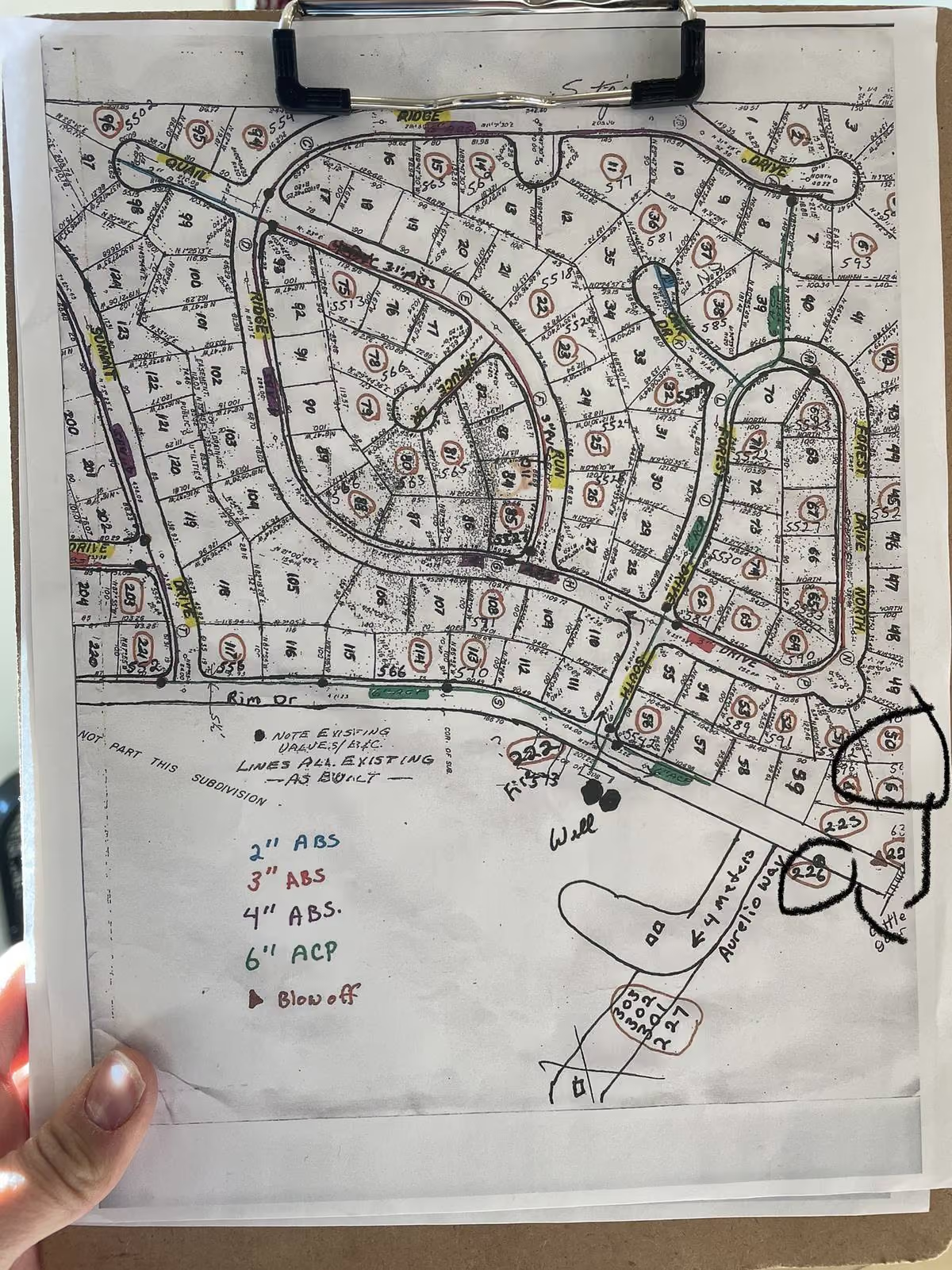
Still running on paper maps? Learn how to start tracing underground pipes and digitizing maps for your water utility, step by step, no GIS experience needed.
Modern technology empowers us to connect and collaborate more efficiently remotely
99% of water systems don't have effective tools to support their communities well. Empowering them with great software protects the right to safe and affordable water for over 160 million people.
A mobile asset management system allows operators, office administrators, inspectors, engineers, and superintendents to access important asset information no-matter where they are.



.avif)