One app for the whole water system: the pipes, the meters, and every job your crew does on them
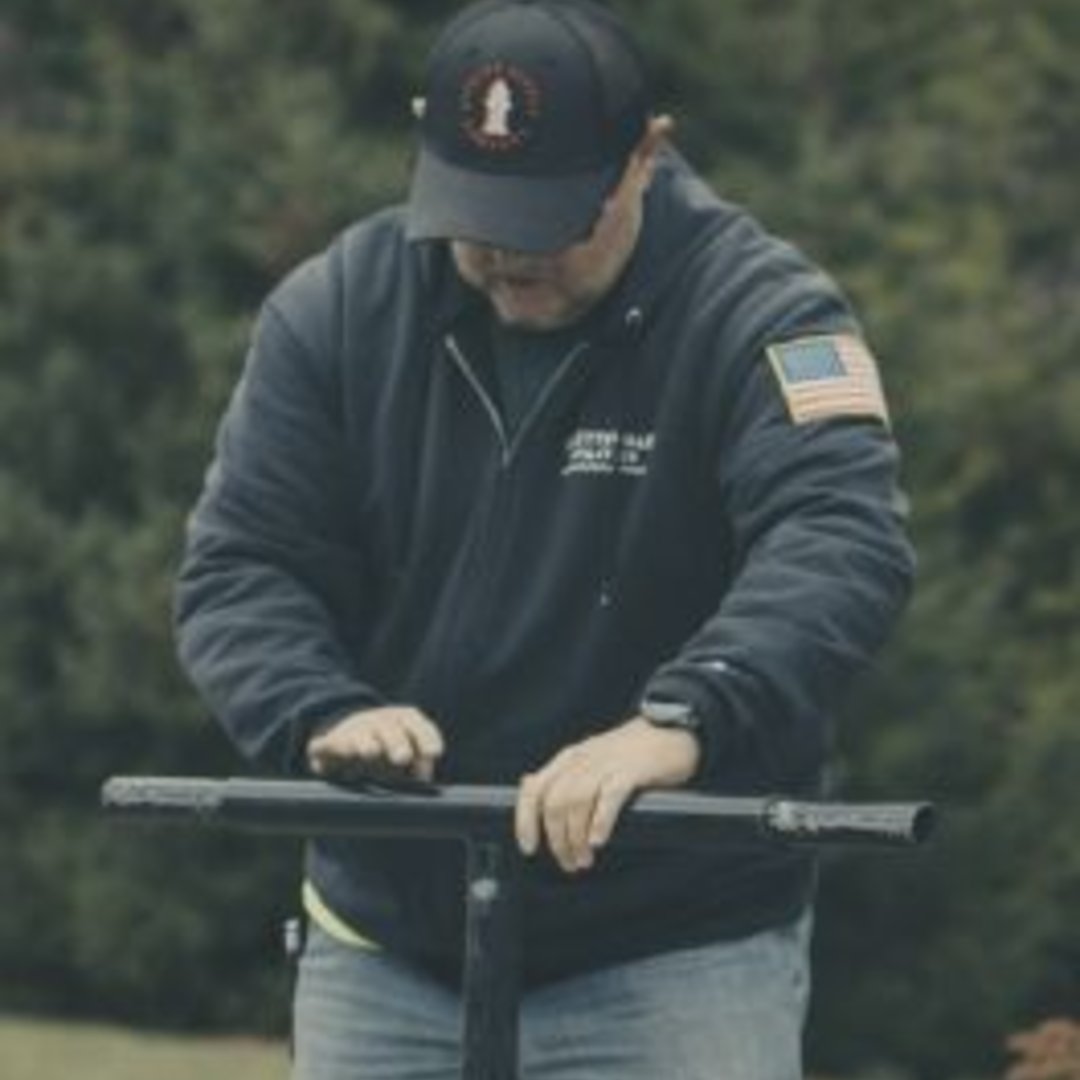
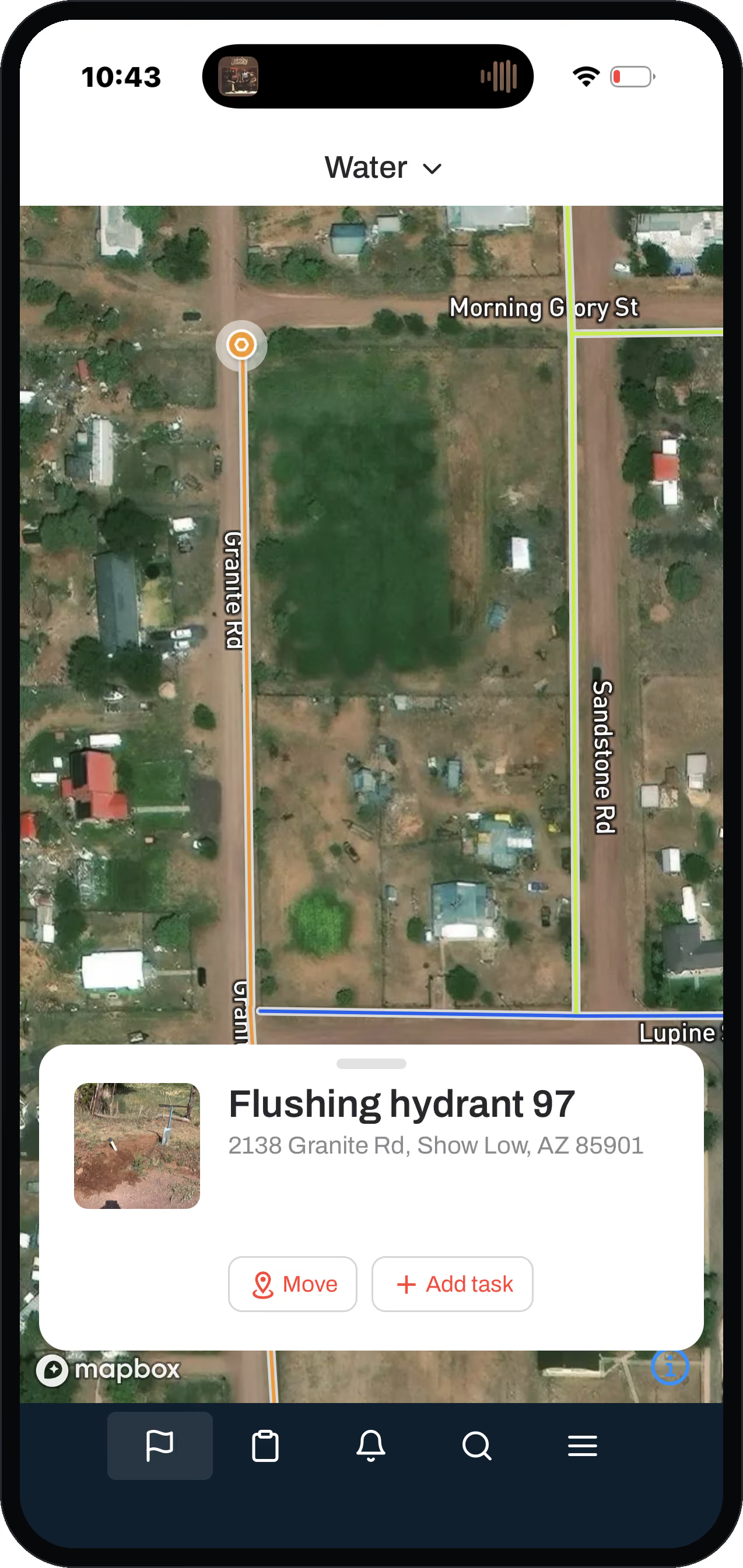
Every main, valve and hydrant on one live map, updated from the field.
Small water is rarely one tidy town. It is 25 connections here, 25 there, a few subdivisions, maybe a couple of districts run out of one office. The valve on one street is a different make and model than the valve two streets over. The system got built a piece at a time. The map lives on a roll of paper, in an engineer's file, and in one operator's head. When he retires, most of it leaves with him. That scatter is exactly why per-asset records beat memory.
Start with the job you came here with
Each one goes to the part of the system that handles it.
What software do small water utilities use to run their system?
Most small systems are still running on paper maps, a billing spreadsheet, and the lead operator's memory.
The ones that get off that use a single field-first app: map, work, and records in one place, not three tools that never agree. That is what Ziptility is: the one app a small water system runs the whole thing from, built for water and wastewater and nothing else.
You get your whole distribution system as a living map. That includes water mains, isolation and control valves, hydrants, customer meters, service lines, curb stops, backflow devices, PRVs, wells, booster stations, and storage tanks. Tap any one and you see its record: what it is, its size and material, and every repair, flush, exercise, or test done to it. The map and the work are the same thing. The map is only worth keeping if it stays current, and it only stays current if the work updates it.
Mogollon Water Management, a 3,000-connection operation in Arizona, runs its systems through Ziptility. Figures from the systems Mogollon runs; yours will vary with size and starting point.
Does keeping the map current mean more work for my crew?
No. It works the other way around.
The work rides on the asset. A main break, a hydrant flush, a meter swap: each gets logged on the thing it touched, by the person who did it, from a phone. The record writes itself. Nobody drives back to the office to update a second system.
That is the whole idea. Every person on your crew does maybe ten small tasks a day, and each adds a little. Over a year that is thousands of true, dated updates, built without anyone ever sitting down to a data project. You already have enough to do.
Your map, your records, and your asset management plan are a byproduct of the work you already do, not another project on the pile.
Can it track water loss and non-revenue water?
Yes, and the way it does it is the part a generic tool misses.
When your operator logs a single leak, one action captures five things: repair cost, gallons lost, staff time, condition, and how critical the asset is. On most small systems, non-revenue water is a number somebody guesses at ("we're losing about 30 percent"). It stays a guess because logging a leak in five places never happens. Logging it once, on the asset, gives you the parts to account for it. The record is already dated and tied to the map for the next study or funding application.
How do I get my water system on the map if I'm starting from paper?
You start from something you already have: your meter-read list, the one clean-ish list almost every system keeps.
Does it handle the water-specific work, like 811 locates, sampling, and lead lines?
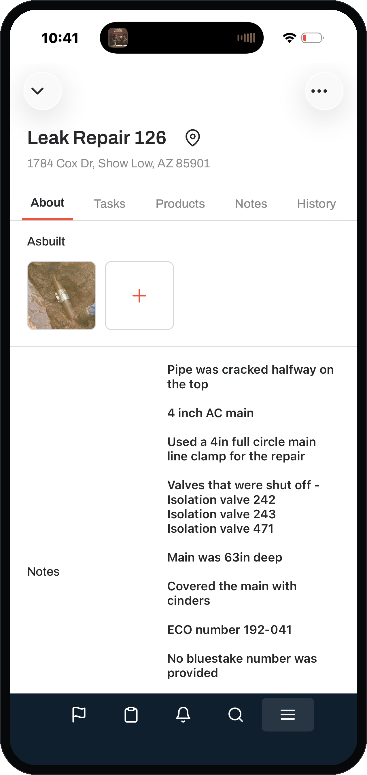
An 811 locate logged on the asset it touched, from the truck.
It does, and that work is built in, not bolted on.
It works out of the box and you customize from there, because we only do water and wastewater. The templates that matter most:
- 811 / blue-stake locates. Forward the one-call ticket email to Ziptility and it creates the locate asset plus a "go mark the blue stake" task. The locates you are legally required to run start building your map. Log a photo of the old paper as-built each time. Over a year or two of normal locate work you quietly digitize a lot of those records.
- Sampling and boil-water notices. Sample points are assets with a water-quality sample task and boil-water-notice workflow attached. A recurring sample, say lead-and-copper every three years, auto-creates on the right board the month before it is due.
- Lead service line inventory. Service lines carry a Lead Status field built for the federal inventory work, and the templates were built with staff who have physically gone out and inventoried lines. Your lines become a color-coded map, not a spreadsheet.
Is it built for a small water system, or does it take a big budget?
It is built for the small water system where a handful of people do everything, not for a city IT department.
You run it yourself. There is no per-seat fee: pricing is by service connections, so the whole crew gets it on a phone, not one license on the office computer. That matters for a field-first tool. If only the manager has access, the field never updates the record and the record dies.
The company was built by an operator, not a software person who learned water on the way. We run water systems ourselves, about 40 percent of our sales come from operators telling other operators, and Ferguson Waterworks is our national distributor.
- A handful of people who do everything
- Priced by service connections
- The whole crew, on a phone
- You run it yourself
- A city IT department
- Per-seat fees
- One license on the office computer
- A system that needs a specialist to run
Questions operators ask
Can we run more than one system in it?
Yes. Plenty of small operations run a few systems out of one office, with districts and subdivisions that were never built to match each other. They sit in one place instead of one map and one list per system.
Can I map my water system myself?
Yes. Start from the meter-read list you already use for billing, drop those points on the map, and refine them in the field. The work itself keeps the map current, and you run it yourself.
Do we need GPS equipment or a survey crew to get started?
No. You start from the meter-read list you already keep, and the crew corrects positions as they work the system. Survey-grade equipment is something you can add later, not something you need first.
What's the best software for a small water utility?
The one your crew will actually keep current from the field. For a small system, that means a map-first app built only for water and wastewater, with no per-seat fee. Not an enterprise system built for a city.
What does it cost to add the whole crew?
Nothing extra. Pricing is by service connections, not per seat, so putting it on every phone costs the same as putting it on one. A tool only the office can open does not get used in the field.