You keep hearing you need GIS. A vendor said it at a conference. Your engineer mentioned it. And nobody told you what the three letters actually mean for a system your size.
Here is the plain version. GIS stands for geographic information system, but forget the words. It is a map that knows what each thing is. A regular map shows you where the road runs. A GIS shows you that this dot is a 6-inch gate valve, installed in 2003, last exercised in 2021. Tap it and you see all of that. Below is what GIS really is, whether a small utility needs it, and the part most people selling it will not say out loud.
It is a smart map of your system where every pipe, valve, hydrant, and meter is a record you can click.
Not just a picture you print. A regular map is a drawing. A GIS map is a drawing where every dot and line carries information behind it.
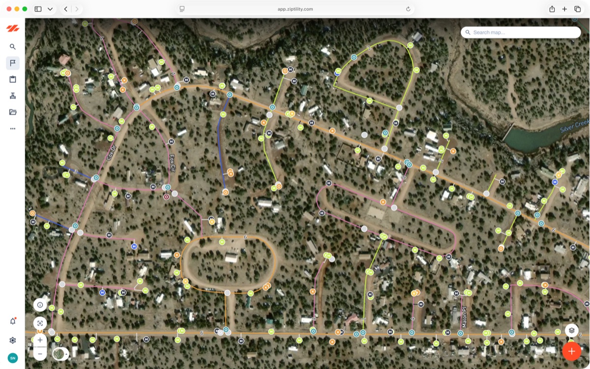
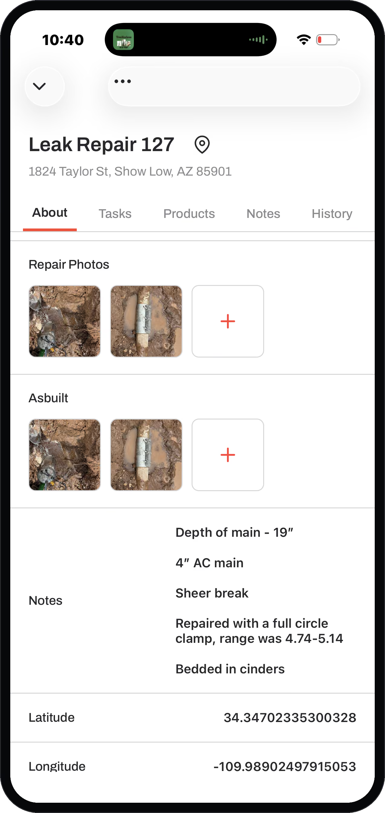
Think about the satellite image you have seen of your town. That picture is your base map. It is the paper. GIS is the layers you draw on top: your water mains, isolation valves, fire hydrants, service lines, manholes, and lift stations. Each one is an asset, and an asset is any point or line on the map. Tap a hydrant and you see its make, its last flow test, its flow class, and the work done to it. Tap a valve and you see how many turns to close it and which way. The map stops being a thing you look at and becomes a thing you pull information out of.
That is the one difference from a paper map that matters: a paper map only tells you where. A GIS tells you where, what, when, and what happened last.
A regular map is a snapshot. A GIS is a record.
The map shows you the dot; the GIS holds everything behind the dot, and it can keep getting better instead of going stale.
Here is the honest middle, the part nobody at the booth will tell you. Most utility "GIS" is not doing its job. The problem is not that systems have no map. It is that the map is dead. It is dots and lines with nothing behind them. As one operator we work with put it: it is easy to make a bunch of lines and dots. The value is the information inside there that you can actually do something with.
A dead map is worse than no map. You stop trusting it, and the day you stop trusting it, it is wasted money. A drone flight or a paper drawing is stale the day it is finished. Your system is a living, moving thing and the drawing does not move with it. A real GIS is the opposite. The record gets more accurate every time someone is in the field, instead of getting wronger every year it sits in a drawer.
Maybe less than you have been told, and here is the honest answer.
You probably already have a map. The real question is not whether you have GIS. It is whether your crew actually uses it to run the system.
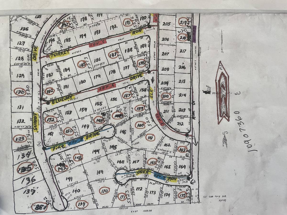
Most small systems already have something. KRWA drew it. An engineer flew it. It is rolled up in the shop or on the office computer. If that map lives in a drawer and goes stale, the GIS is not your problem. The workflow is.
We can say that plainly because we are not a map company trying to sell you a map. We are the operations layer that sits on top of one. About one in five operators who hear about us assume we are just mapping, and tell us they already have GIS. Our answer is the same every time: good, keep it, do not rip anything out. What is missing is not another map. It is a way for your crew to do their daily work on the map so it stays alive. If your map already does that, you may not need to buy more GIS at all. If it does not, that is the gap, and it is not a mapping problem. See how this looks for water utilities or wastewater utilities.
Yes, and for a small system that is the whole point.
It is hard enough to run a water system without taking on a second trade at the same time. The tool should carry the technical weight, not the operator.
This is the part that scares operators off the word "GIS." The picture they get is the enterprise version: an engineer's tool with a steep learning curve and a consultant on retainer. That is real, and for a big city with a GIS department it makes sense. For a small system it is the wrong tool. The map should do the thinking for you. That is why our standard setup works out of the box, and you can customize it from there. You get 42 ready-made asset types: Water Mains, Isolation Valves, Fire Hydrants, Service Lines, Manholes, and Lift Stations, each already carrying the right fields. You do not build a GIS from scratch. You start from one built for your kind of system, and you run it yourself with the crew you already have.
The work has to happen on the map.
A GIS becomes useful the moment your crew does their normal work on it. The work updates the record, and the map keeps the history.
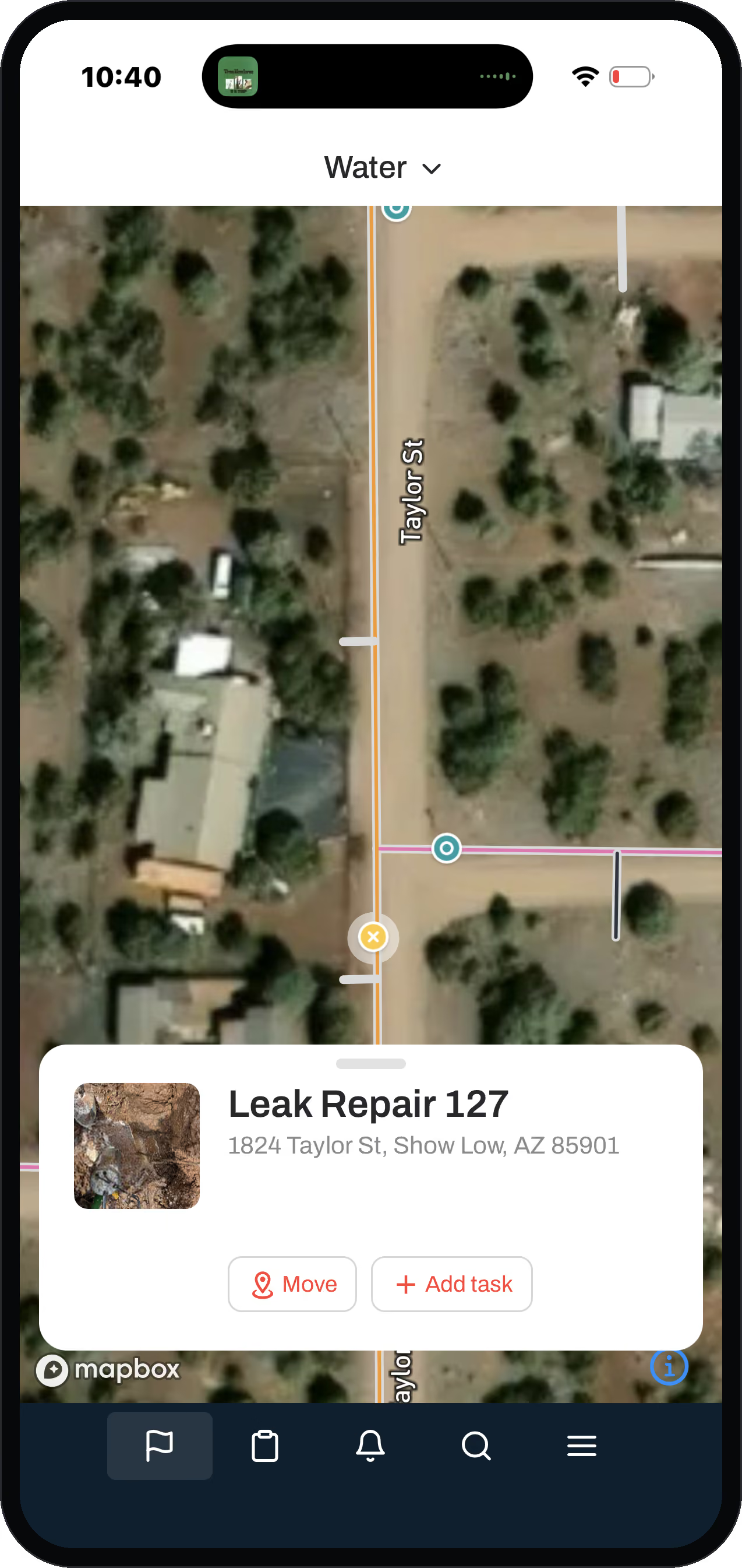
GIS is the backbone, but the map is not the finish line. It is step one. Your crew can do this work from a phone in the field. Here is how it works in our system. You have your assets, the dots and lines, like any GIS. Then on top of those assets, the crew does tasks. When an operator fixes a hydrant, he does the work on the hydrant itself, and that task logs to the hydrant's record. The map is not a reference layer off to the side. It is the thing the whole work system rides on.
Do that across a crew and the map turns into a living, breathing thing. Every person doing maybe ten small tasks a day is adding to it. Inherited assets come in as gray dots, the ones nobody has confirmed yet. They fill in with real detail as crews get eyes on them, often while doing the 811 locates and repairs they already have to do. Over a year, your old paper quietly becomes a real database, and nobody sat down to a data project. Once you see it, you stop asking "do I have GIS" and start asking "is my crew actually working through the map every day."
Honest about scope: GIS is the backbone of what we do, but a map by itself is not what fixes a small utility. We are not an enterprise GIS engine built for engineers, and we are not trying to be. If you have a map you like, keep it. What we add is the workflow on top, so the map stays alive as your crew works. See what a living map looks like in Ziptility, or read how to get your system onto a map if you are starting from paper.
What is GIS for a water utility? It is a smart map of your system where every pipe, valve, hydrant, and meter is a record you can click, not just a picture you print. Tap an asset and you see what it is, when it went in, and what has been done to it.
Do small water systems need GIS? Maybe less than you have been told. You probably already have a map from KRWA, an engineer, or on paper. The real question is not whether you have GIS, it is whether your crew actually uses the map day to day. If it sits in a drawer, the gap is the workflow, not the map.
What is the difference between GIS and a regular map? A regular map is a snapshot that shows you where things are. A GIS is a living record that also holds what each thing is, when it went in, and its full work history, and it gets more accurate as your crew works instead of going stale.
Can you run GIS yourself? Yes. The right tool for a small system ships built for water and works out of the box, and you can customize it from there. The templates do the heavy lifting, so you run it yourself with the crew you already have.
We already have GIS, do we need more? Probably not more GIS. Keep the map you have. What is usually missing is a way for the crew to do their daily work on that map so it stays current. That is a workflow, not another mapping tool.
This page is part of GIS mapping in Ziptility.